
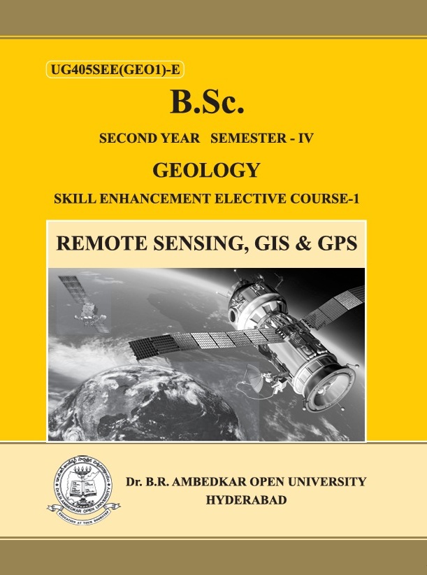
Course Summary: Remote Sensing, GIS and GPS
The Remote Sensing, GIS and GPS course introduces students to the fundamentals of modern geospatial technologies used to collect, analyze, manage, and present spatial data. It covers the principles of Remote Sensing, Geographic Information Systems (GIS), and the Global Positioning System (GPS), including satellite sensors, image interpretation, GIS mapping, spatial analysis, and GPS-based positioning.
The course also explores the integration of these technologies for applications in geology, agriculture, environmental monitoring, natural resource management, urban planning, disaster management, and transportation. By the end of the course, students will be able to understand geospatial concepts, interpret spatial data, perform basic GIS analysis, and apply Remote Sensing, GIS, and GPS to solve real-world environmental and planning problems.
The Remote Sensing, GIS and GPS course introduces students to the fundamentals of modern geospatial technologies used to collect, analyze, manage, and present spatial data. It covers the principles of Remote Sensing, Geographic Information Systems (GIS), and the Global Positioning System (GPS), including satellite sensors, image interpretation, GIS mapping, spatial analysis, and GPS-based positioning.
The course also explores the integration of these technologies for applications in geology, agriculture, environmental monitoring, natural resource management, urban planning, disaster management, and transportation. By the end of the course, students will be able to understand geospatial concepts, interpret spatial data, perform basic GIS analysis, and apply Remote Sensing, GIS, and GPS to solve real-world environmental and planning problems.
- Teacher: Dr RAJITHA SANDA
Skill Level: Beginner